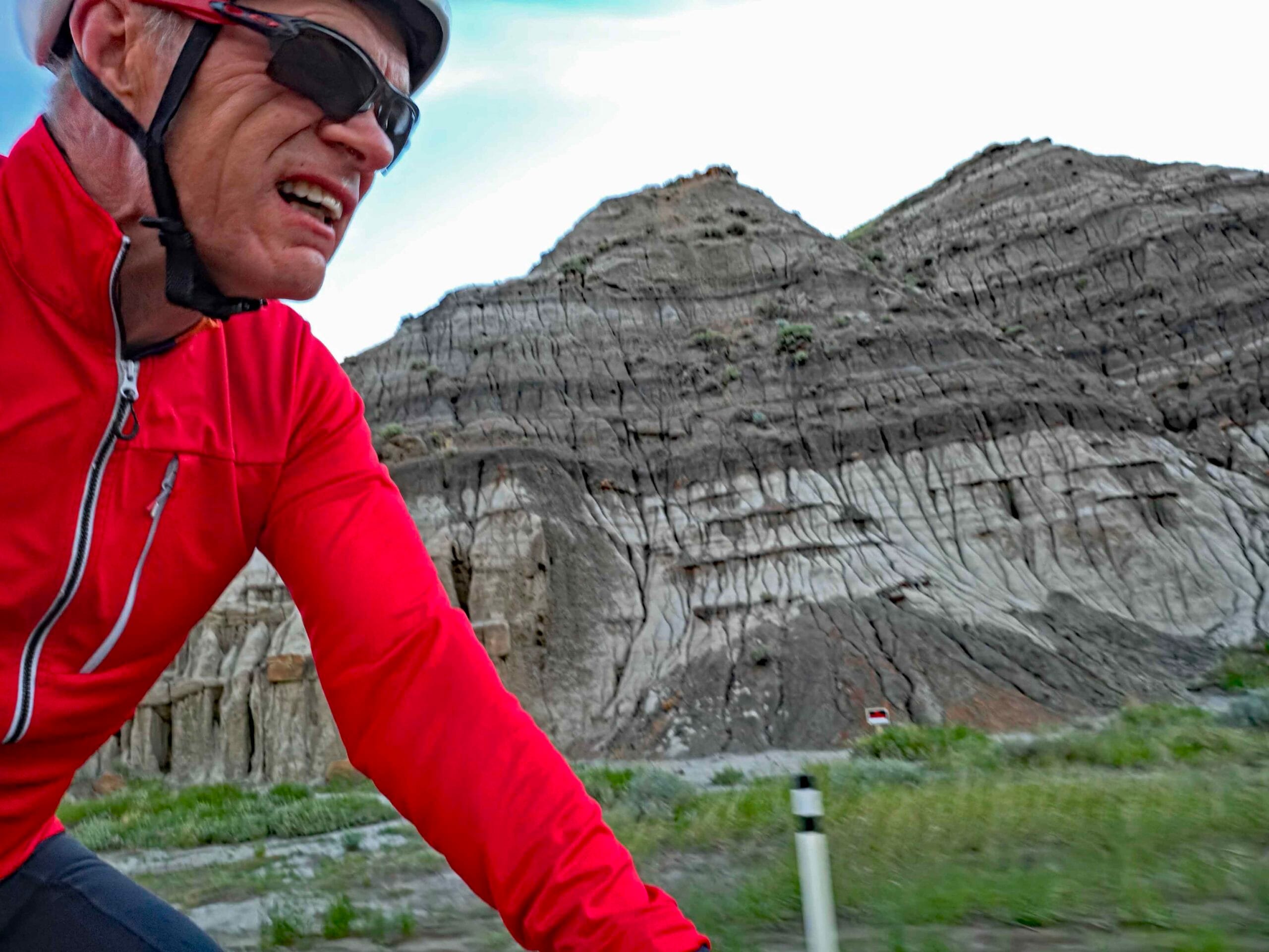
Drumheller, famously known for its dinosaur museum, lies on the Red Deer River where it cuts through the Badlands of Alberta. The river valley is narrow and steep-sided revealing stripy layers of mud and ash laid down 70 million years ago and carved into deep gulleys after the last Ice Age. This land is barren, lumpy and unusable for crops but away from the river and its feeder valleys the land transitions to the prairie plateau. On the plateau, you can see for miles across the gentle undulating arable landscape.
I was staying in Rosedale some 6km downriver from Drumheller, and had planned a route that encompassed views of the Badlands and the wide prairie above it, taking advantage of the web of gravel roads that cover the area south of the Red Deer River. I was also taking advantage of the early sunrise at that time of the year. Traffic wouldn’t be an issue as the roads are only used for access to farms, small oil installations and wind generators, and these are few and far between.

The evening that I arrived in Rosedale there was a sprinkling of rain that, fortunately, would do nothing more than help suppress dust on unpaved roads. I had ridden in this area previously after heavy rain and that had turned the road surface to a thick mud which bound loose chippings to my tires reducing my speed to a crawl. My luck was in this time.
Setting off at sunrise, I needed a jacket to keep of the chill as I made my way south up the Rosebud River valley on the 10X road towards Wayne a former coal mining village. The original planners intended the road to run directly up the gently sloping valley to Wayne but the river has other ideas as it constantly wends across the valley floor. Consequently, the road has to cross the river no less than eleven times in only six kilometres.

Wayne is a spread-out collection of modest homes so the two-storey Last Chance Saloon is easy to spot off on the west side of the road. Just when you are getting used to the speed of the paved surface and gentle incline, both change and you are faced with a steep, gravel climb out of the valley. On that gradient it’s good to find a line clear of loose grit to give your tires purchase. At least the sun on my back began to warm me as I made my way up to a T junction where the gradient eased.
Here the roads are mostly known by their original Township Road or Range Road designations; I turned right onto Township Road 280. Now the sun had risen, I had extensive views over the Red River to the Badlands to the north. A red glow in the sky was perhaps a portent of the severe thundery weather we would experience much latter in the day, fortunately, long after I had completed my circuit.

At the first turn, one mile later, I turned south onto Range Road 200 and traversed the landscape in that direction for several more kilometres. Away from the Red River, there was no sign that you were in the Badlands as this was rolling arable land, uncharacteristically green after the heavy spring rain. A couple of wind turbines broke the horizon east of me and I passed dilapidated wooden barns and a donkey oil extraction pump.
The gravel surface was moist so there was no dust and ran freely, not that I saw a single vehicle on the gravel sections. I only saw two cars when I was returning on a paved section of Highway 841 where it crosses the Rose Bud River further west. Navigating the East/West or North/South gravel roads is in the most part simple, though they are not all dead straight where they have to run around a creek or a significant hill. Also, I found two roads had no through access despite being marked as routes on the Garmin and Ride with GPS apps. Luckily, there is usually an alternative road heading in the same direction one mile further west or two miles further south so detours are a minor inconvenience.


My route was roughly rectangular, about 8km by 4km with the longer, north-bound leg eventually clipping Highway 9 on its run into Drumheller. At that time of morning, I encountered no traffic on the main road towards the town before I peeled off onto Township Road 284 that heads directly east to Rosedale. After passing an oil installation, I noticed a sign indicating the road was seasonal and may be impassable in wet weather. Tributary creek beds running down to the Red River forced the road to twist and turn, presenting me with a fun, rougher descent. At one bend, a deep gully to my right afforded a view way down to the Rosebud River valley floor.

Suddenly the road began to plunge steeply but a sign proclaimed “End of Public Road”. Ahead of me was a grey ramp of hard packed mud cutting down through dark and light bands of mudstone and clays. I hesitated for a moment wondering if this was private for the last 200 metres down to the valley; or was it just a deterrent because the surface felt soft under my 45mm tires. With no alternative route, save backtracking four kilometres to Highway 9, I took the plunge. At that angle of descent, I held the brakes on all the way down but the surface smeared and slid disturbingly under the tires.

With some relief, I levelled out next to a scrapyard and rolled onto I Street North that joined the paved Centre Street and then 2 Avenue, the through road also designated Highway 10. From there it was just five minutes cycle back to the Bridge View campsite where I was staying. The circuit of 47km with 500m of ascent took 2 ½ hours travelling at my gravel average speed of 20kph. With the final descent I described, I would not recommend riding this in the reverse direction.
This was a fun route and a great introduction to the diffeernt types of gravel riding in the Drumheller district.
Leave a Reply