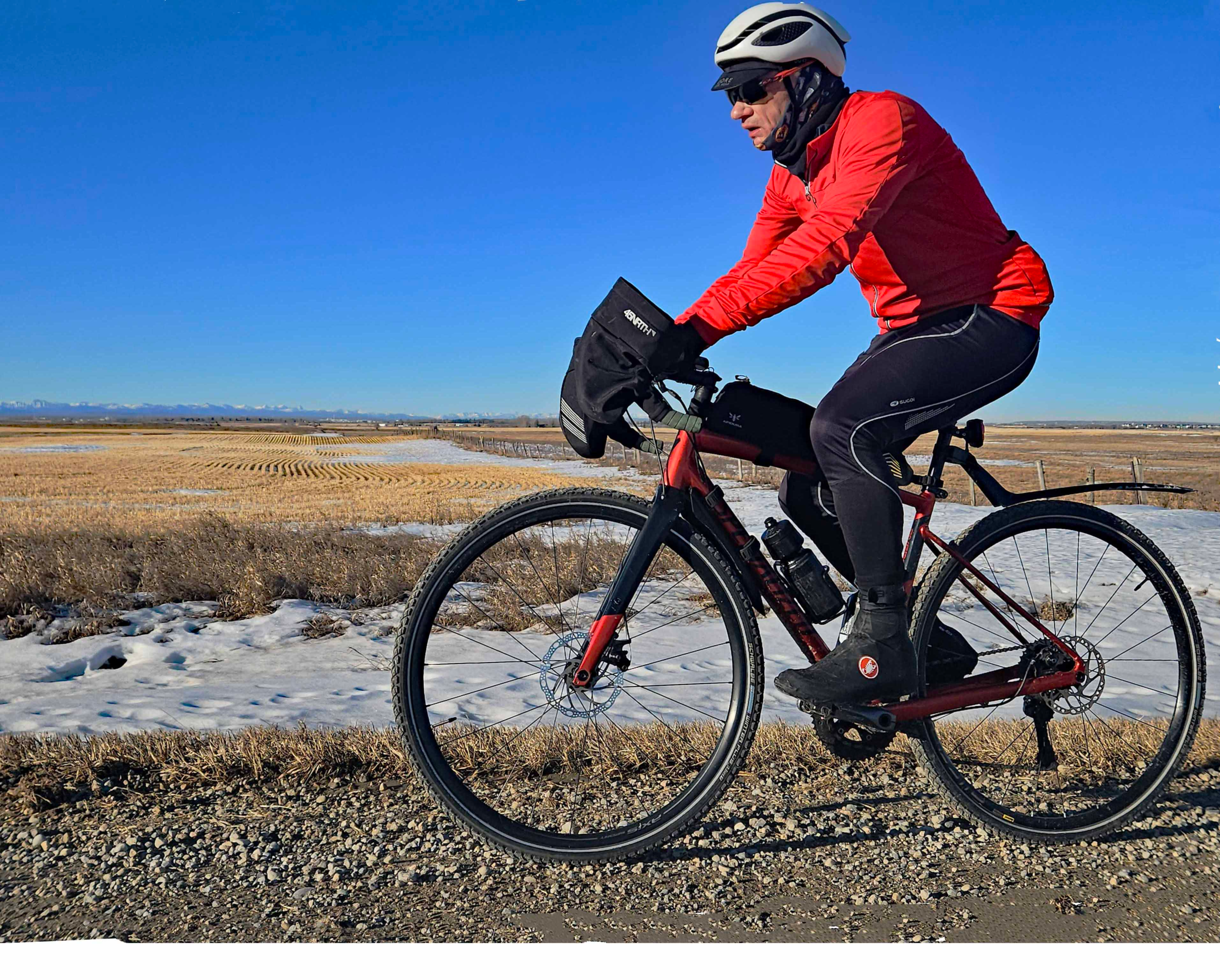
I have ridden this circuit on two occasions, once in November before the snow arrived and once in January during a sustained mild period that had cleared much of the snow that fell in November and December. Part of the route, I have also ridden in early summer. In the summer and November, I rode a lightweight gravel bike with 45mm tires, a top-tube bag and two bidons while on the January ride I took my winter gravel bike that is heavier with its aluminum frame and 40mm studded tires. I may try to squeeze 45mm tires on this when the current ones wear out.
The 87km route I planned encompassed 37km of prairie gravel road that I hoped would run well if the snow had been ploughed and the residual snow had melted sufficiently. I expected the surface to drain better than on asphalt roads. Apparently, Rocky View County does plough these gravel roads if the snow is more than 10cm deep so I was optimistic.
During the November ride the temperature had been just 5⁰C with a light wind of 10kph from the northwest. For the January excursion, the temperature was predicted to exceed 15⁰C, tropical for winter in Alberta, though the westerly wind was expected to pick up during the day to 20+kph on the return journey.
From downtown, the quickest way to south Chestermere threads south east via Inglewood and then alongside the Western Headworks Canal to 50 Ave SE. Virtually all of the cycle paths and roads were snow- and ice-free even in January thanks to the snow-clearing contractor. Hard ice remained in a couple of spots like the underpass entrance at Highway 2. Additionally, there were sheets of melt-freeze ice across the path downtown. Even with the high daytime temperatures, we had still experienced an overnight ground frost.
On 50 Ave SE, in the places where there was no sidewalk, I would usually ride the informal track cut by other cyclists along the grass on the north side of the road. In January, the rough track was a ribbon of hard-packed snow and ice even though the snow either side had melted leaving bare ground. Consequently, I reverted back to riding on the paved road. At 52 St SE you turn south over the railway track and then dog-leg east at 61 Ave SE where there is a convenient sidewalk on the north side of the road that conveys you over the Stoney Trail highway to 84 St SE. Turning north, you re-cross the railway and then turn east on Township Road 240 that would be a continuation of 50 Ave SE if you had not crossed into Rocky View County territory.

Had this road been in Calgary and not Rocky View County, then it is likely it would have been paved. This is possibly the closest stretch of gravel road to Downtown.
The gravel was dry and firm, though of slightly different texture to its pre-snow feel. Road margins were barer and slightly browner in colour but the lateral surface ran faster than the stonier central area. I found it was easy to maintain 20 to 22 kph, although by then I did have some wind assistance.
Continuing eastwards, you cross Rainbow Road that runs up to Chestermere and Township Road 280 is asphalted as far as Range Road 281, located southeast of Chestermere. This gravel road runs for 10km due south over two paved east-west roads. Your speed here is greatly affected by the quality of the gravel and the wind speed and direction as the terrain it is very exposed. I had no wind assistance here in January as the wind was light and westerly but I managed to maintained 18 to 20kph because the gravel surface ran well. Even where it was moist from snow melt, the road still ran quickly. On my “summer” gravel bike, the wider 45 mm tires seemed to float over the surface better giving me 2 to 4 kph more speed.

Where the road rose in gentle inclines, there was hardpacked snow on the surface but mostly only on the north-facing slopes. With the Rockies clearly visible some 80km out to the west, this section of gravel road is a delight to ride in those conditions, just as it had been in the summer and in Autumn.
At the intersection where you turn eastwards onto Township Road 230, there was more hardpacked snow. The road here is in the lee of trees surrounding the property immediately to the south. As well as breaking the wind allowing snow to build up, these trees also throw shade onto the road that slows down the thawing process.

Then, on Township Road 230, the surface was stonier and slower but the wind in winter is often at your back helping you maintain speed. At the tiny settlement of Indus, the road is paved for the industrial units until you turn north on Range Road 275 where the surface is rough and slow.
The bridge over the canal on Township Road 232 is a convenient place to stop and admire the view before turning again northward on Vale Road immediately southwest of Landon. Finally, you intersect Railway Avenue that parallels the former railway into Langdon which closed some three decades ago. Only on the very edge of the built-up development will you find the road paved, just before you pass the supermarket and Tim Hortons.
I prefer the independent coffee shop called Prairie Grounds on Centre Street. At lunchtime, you will find students from the nearby high school escaping for a coffee and muffin here, but there is always a comfortable chair for the weary cyclist.

When you leave, you turn west on Bradner Avenue and keep going back to Vale Road that defines the current western limit of the town and is paved up to the Glenmore Trail. North of that road you continue on the unpaved Range Road 273. You pass a few rural properties and then at an intersection make the turn west for home back on Township Road 240. Here, when the west wind blows you feel its full force knocking even more kph off your speed.

You have 5km of Township Road 240 but the last 2km section is paved, as is Range Road 282 that leads you to the south shore of Chestermere Lake. Building activity in the new development there leaves the roads muddy with deep puddles when the snow melts. However, the cut through on South Shore Drive connects to Rainbow Road that takes you north on the western side of Chestermere to the main road into Calgary, 17 Avenue.
The route on 17 Avenue follows a wide shoulder but there are points after Belvedere where you either cycle in the traffic or on the sidewalk. Eventually, on the section known as International Avenue, you need to cross to the south to follow the bike path on 19 Avenue that is quieter. 19 Avenue leads you to the Boat People memorial above the Bow River and the dedicated bike path drops you under 17 Avenue to follow the Western Headworks Canal, over Highway 2 and around to the Zoo. There, the paved path was interspersed with a mix of melted ice and puddles.

In January, with a headwind on the return, the whole journey took me 5 hours and 5 minutes with a moving time of 4 hours 31 minutes at an average riding speed of 19.3kph. This compares with 4 hours 10 minutes with a moving time of 3 hours 45 minutes and speed of 23.3kph on my lighter Trek Checkpoint in November. The difference in speed can be accounted for by the lighter, faster bike, dry, ice-free road surface and the lighter winds in November.
So is the gravel rideable in winter? If you pick a period after a Chinook waming you may prove to be as lucky as I was!