When you plan a route to the north, east or west of Calgary, you inevitably enter Rocky View County that mostly encircles the city like an upside-down horseshoe. From Downtown, the shortest route out of the city limits is about 15km west on the Banff Old Coach Road at Cougar Ridge. To the northwest, the distance stretches to 25km before you cross Country Hills Boulevard on 12-Mile Coulee or Rocky Ridge Road. The route in this blog goes from the city centre to Bearspaw, located just outside Calgary’s northwest limits.
You could start exploring the northwest by starting out from the Shane Homes YMCA. The parking lot at this futuristic-looking facility off Rocky Ridge Road is conveniently located and big enough to accommodate a couple of extra cars if you want to skip those 25km to get out of out of town. However, I usually embrace the full ride out of town with its 200m climb up from the Bow River. On my latest ride I discovered a new trail up from Bowmont Park that avoids going through Baker Path to reach Tuscany.

On that ride for variety, I opted to climb to Tuscany on Tuscany Hill as there is a parallel cycle path. However, Tuscany Hill road has been engineered at a constant grade while the bike route throws in a couple of steep knee-straining ramps so beware. At Tuscany Drive, I took a left, following the road this time as the whole area was very quiet, being early afternoon on a weekday in the summer. A handy gravel cut though connects to 12-Mile Coulee at Tuscany Ridge Terrace. Those road names are pretty confusing with so many similar sounding: Tuscany Ridge Terrace, Tuscany Ridge Crescent, Tuscany Ridge Way, Tuscany Ridge View, Tuscany Ridge Common.


You can head uphill on 12-Mile Coulee, cross Highway 1A and continue up to Country Hills Boulevard. Hang a left there and you are suddenly in Rocky View County, specifically, the district of Bearspaw. Immediately, the density of housing you saw in Tuscany drops dramatically as you enter the manicured parkland around Bearspaw Golf Club. A road snakes through the estate taking you past large homes on huge plots and bringing you out to an intersection with Bearspaw Road.
When you head north on Bearspaw Road, few of the side roads seem to have exits as they loop round in what the district calls “pan handles” where the homes sprout off the outside of these loops. Although a sign at the entrance to Church Ranches Boulevard indicates “No Through Road” the Boulevard does continue all the way through to the east and rejoins 12-Mile Coulee. Whether the sign is a sleight to reduce through traffic, or an oversight, I couldn’t say. If you ignore this option, you need to keep riding north to a township road where you can choose to ride east or west. The township roads would have been there long before the farmland was carved into two-acre residential plots.

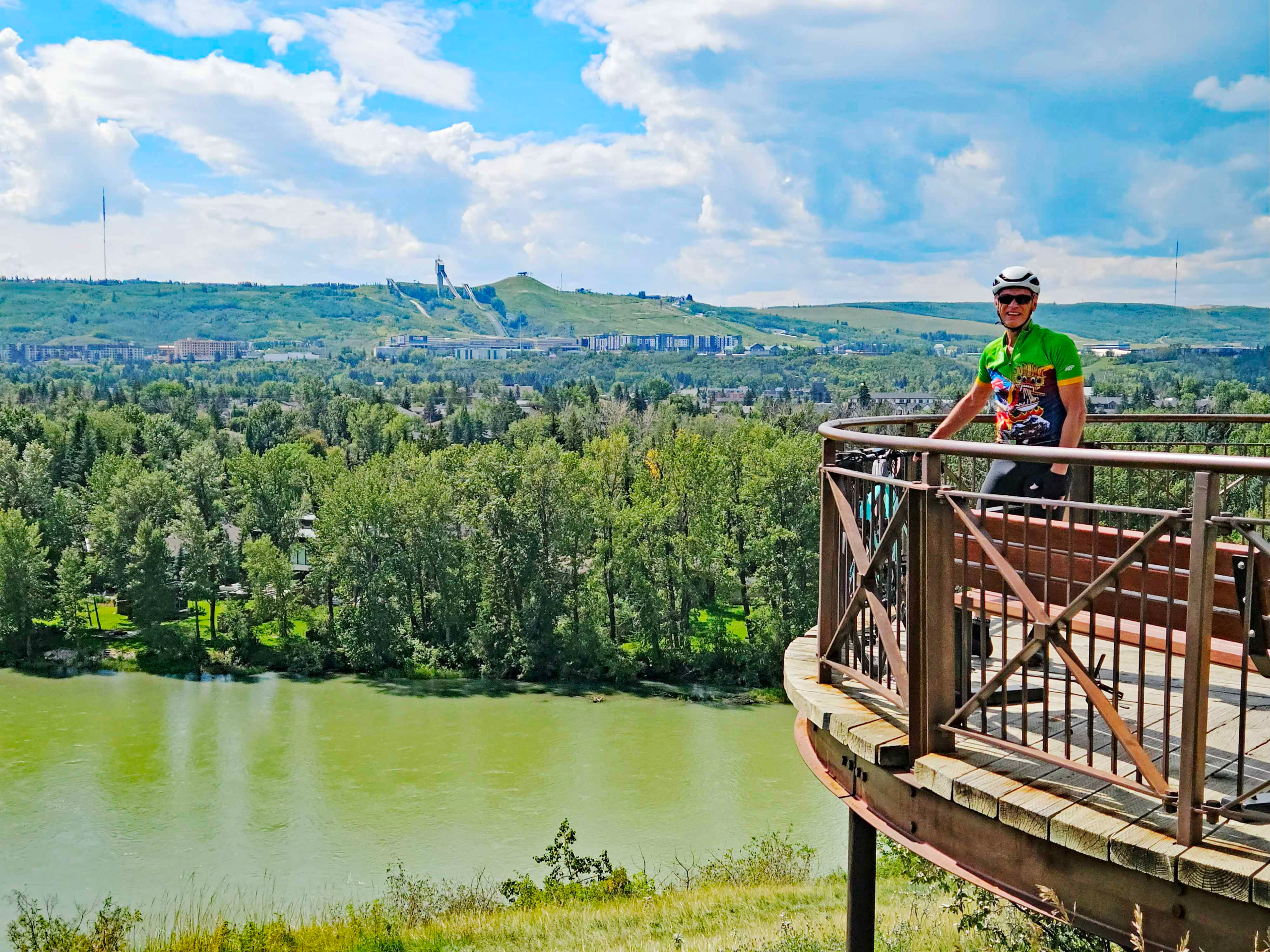
Many of the homes here are situated around small lakes, and the gently rolling, wooded hills that make for enjoyable cycling terrain. Having explored Bearspaw, you can return back down Rock Ridge Road, past the YMCA. This road takes you rapidly downhill past the Mormon Temple to the Tuscany C-Train station. From the station, the downhill continues until you reach the Bow River under the Stoney Trail. Having lost 200m elevation in a relatively short distance, now follow the bike lane by the side of Bowness Road back over the Bow River and rejoin the river trail via Home Road in Montgomery. From there, it is 30 to 40-minute ride back to Downtown.
The overall ride described is 60km long and will take 2½ to 3 hours on a road bike in dry, summer conditions, depending on your riding speed.
